


Mont Autcelier
Refuge de longon
Refuge de Longon
Sans titre
Many hikes are possible from the chalet or by borrowing your vehicle.
Here in the drop-down menu are some of the most beautiful hikes around Roure but also elsewhere in the valley.
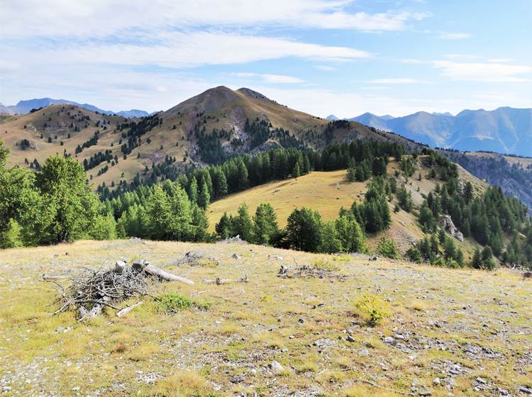
""THE CERISE"" HIKE
This is the ideal end-of-day hike, relaxing to observe the wild fauna and flora departing from the chalet. This hamlet is located just 2km from the village center and only accessible on foot via a magnificent path perched above the Vionène valley.
Description : From the chalet, reach the Plan district to the west and marker 240, the starting point of the trail. Along the way, you will visit the Saint Jean Baptiste chapel. Then continue for 1.5km to the hamlet of Cerise.
Walking time : Variable according to your desires.
Elevation gain : Around 150m round trip
Difficulty: 1/4
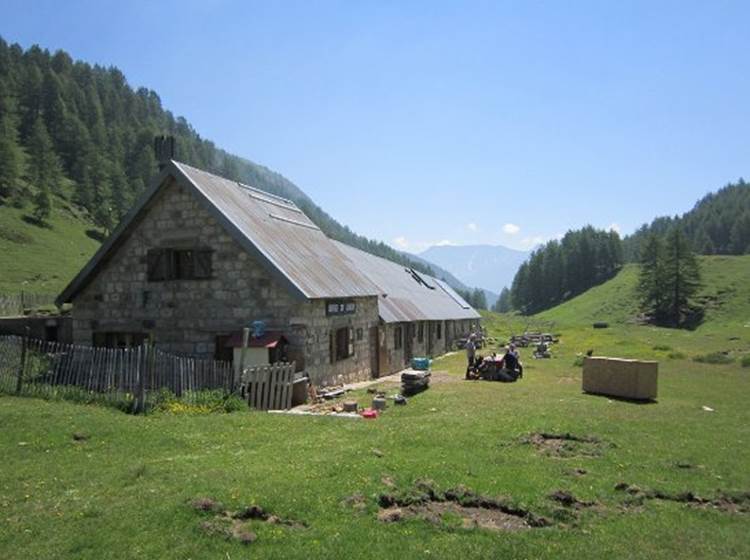
LONGON REFUGE
Manu and Sandrine will welcome you there and help you taste all the agricultural products from their production (cheese, cold meats, eggs, etc.).
This refuge is a communal refuge located in the Mercantour National Park.
To get there you can either leave the chalet or park your vehicle at the bottom of the Rougios piste (this saves you around 1h30 of walking there, and 1h on the return).
The setting in which this refuge is located is simply sublime. Sometimes you will think you are in the Alps, sometimes in the Mongolian steppes.
Description : From the chalet, take the road which initially takes you to the arboretum. Then continue by vehicle to the car park at marker 241. From this point, a motorable track will take you to the end of the road, at Rougios. In spring and autumn, if you are discreet, you will see roe deer, stags and does at the end of the day.
Continue on foot via the GR5 (red and white markings) to the refuge. altitude 1900m.
If you are in good shape, continue to the gates of Longon, at the bottom of the valley. A change of scenery is guaranteed.
Walking time: Allow around 1 hour 30 minutes to reach the refuge.
Height difference : 550m
Difficulty : 2/4
https://refugedelongon.fr
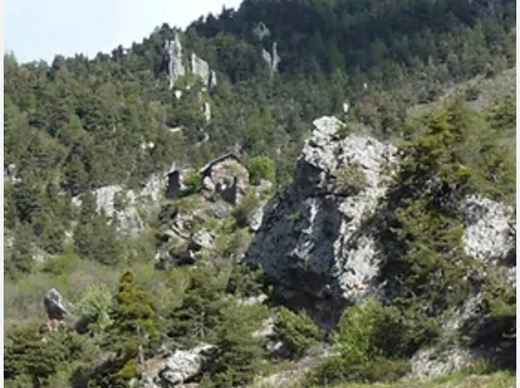
MONT GRAVIERES
A superb hike which will take you first to the Longon refuge and then to the summit after some additional effort. The meal at the refuge on the way back will be very appreciated.
Description : From the chalet, take the road which initially takes you to the arboretum. Then continue by vehicle to the parking lot at marker 241. You can leave your vehicle there but it is preferable to take the track to Rougios.
You can leave your vehicle at marker 250. From there, head towards the Longon refuge, pass it and continue at the bottom of the plateau to the Longon gates. Leave the GR5 to take on your right (left bank of the valley) towards Mont Gravières.
Walking time:Allow around 3 hours for the summit, 5 hours return.
Height difference : 900m
Difficulty : 3/4
https://mercantour.info/topo/mont_gravieres.html
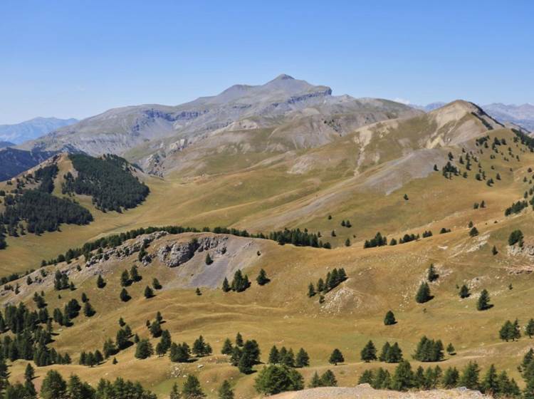
MONT AUTCELLIER
My favorite since we lived in Roure. It's even one of my favorite places in the mountains. One of those places where you feel good, where you feel alive, where you think about thanking nature.
Description : From the chalet, take the road which initially takes you to the arboretum. Then continue by vehicle to the parking lot at marker 241. Park your vehicle there. Continue by taking the track on foot towards Rougios. Walk for 1/4 hour and leave this track at marker 254. There you walk on a path covered with larch needles, gentle, gradual. It takes you to marker 251, in the Fracha forest where you will observe the cuts in the larch. Sublime point in the forest where it is common to observe deer.
You continue towards the northwest towards marker 252 on the Clouetta ridges. You will begin to see Roubion to the south and west, the Valberg station and a little further south the Greolières les neiges station. If you leave early you will even see Corsica. Follow this ridge to the summit where an alpine panorama will appear before your eyes. To the north you will not fail to linger on the imposing Mont Mounier and its 2818m, very famous in the department.
If the weather turns bad, you will have plenty of time to turn around to quickly get back to your vehicle.
If the weather is good and your
legs follow, continue north and go down towards the gates of Longon to find yourself in these steppes of the Longon plateau. You will have the opportunity to come see Manu and Sandrine at the Longon refuge where you can have a bite to eat and a drink. Take the opportunity to taste their excellent mountain cheese.
Walking time: Allow around 2h30 for the summit, 1h more for the gates of Longon and finally 2h more to reach your vehicle.
Height difference : 850m
Difficulty: 2/4 if out and back
3/4 if looped through the Longon gates
https://mercantour.info/topo/mont-autcellier.html
More information on the Alpes Maritimes departmental council website: